Drone Roof Inspections in Lewisville, TX
Overview
Drone Roof Inspections in Lewisville
A drone flight begins on the ground with a flight plan, a list of roof zones and a conversation about who needs to know the aircraft will be overhead. The images come later. For a large or hard-to-reach commercial roof in Lewisville, TX, that preparation decides whether the flight produces a usable record or just a pile of pictures.
Drone imaging gives us a complete view of a roof surface in a fraction of the time a walk takes, without anyone stepping on a fragile membrane or climbing a steep access route. It does not replace a hands-on inspection. It tells us where to look, in what order, and what to bring.
Flight plan: permissions, limits and roof zones
Before launch we check airspace, confirm permission from the property owner and manager, and note anything on site that affects the flight: tall equipment, antennas, power lines, people in the parking lot. We choose the time of day for light that shows surface texture without glare, and we avoid gusty or wet conditions that make the images less useful and the flight less safe.
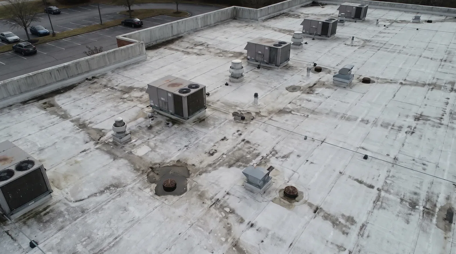
The roof plan comes with us, marked up with the equipment locations and the points where we expect to want a closer look. Each zone is named, and the flight covers them in a set order, so the images map directly onto the plan. Overlapping passes at a steady height produce a consistent view of the whole roof, and a few lower passes capture detail at edges, penetrations and anything unusual spotted on the first pass.
Photo sequence: from the whole roof down to the detail
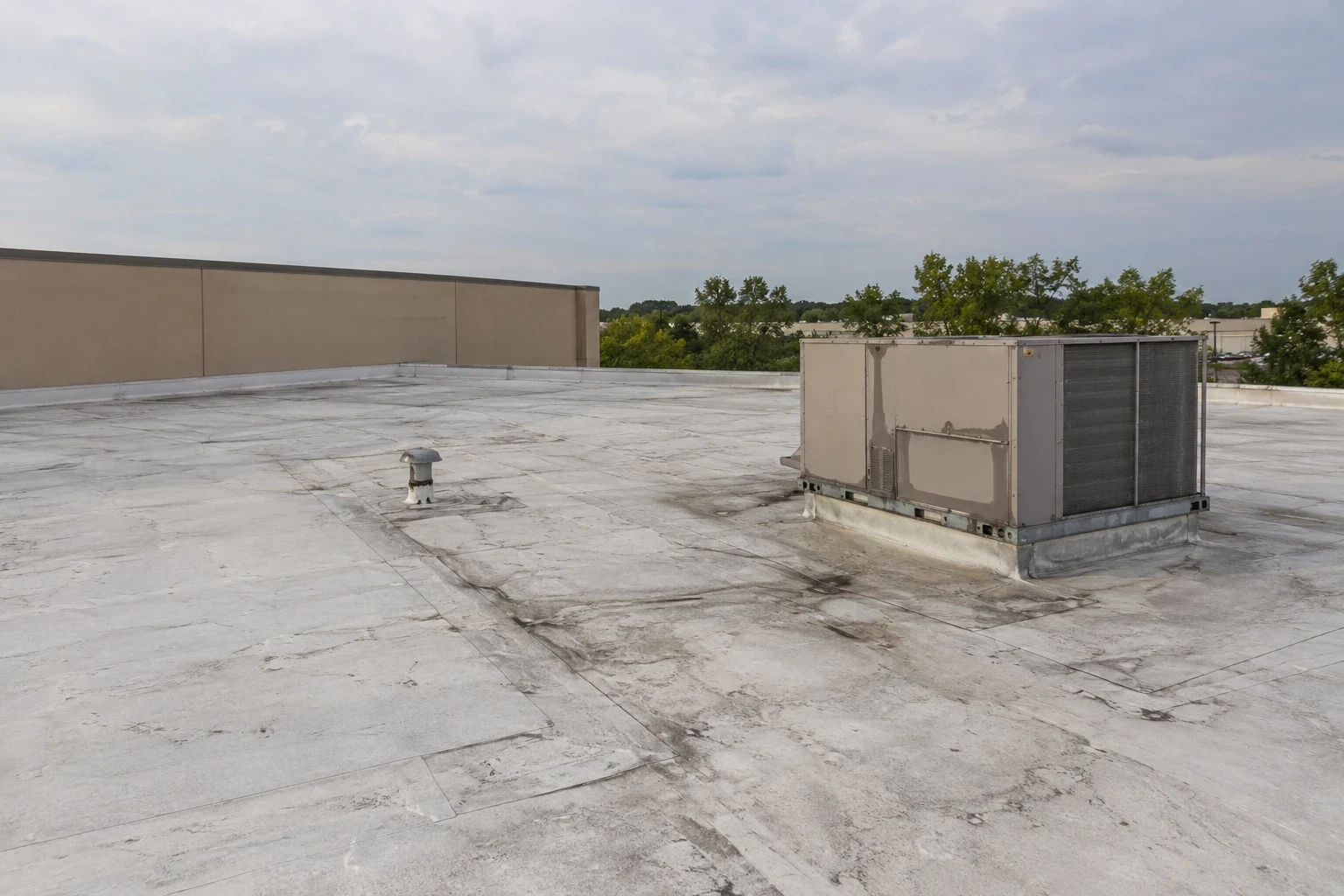
The sequence mirrors a ground inspection. Wide images show the roof as a whole and expose broad patterns: staining, ponding outlines, discoloration, debris, and equipment that has moved. Then we step down to targeted images of seams, flashing terminations, drains and rooftop units. Each image carries a position and a zone label, which lets a reviewer open the record months later and find the same spot.
Image quality is checked before the drone lands: focus, overlap between passes, and whether any zone was missed. A gap found on the ground is fixed with another pass in minutes, while a gap found a week later means another site visit.
Thermal imaging can be added to the flight in the right conditions. A thermal camera shows temperature variation across the roof, which can point to areas where wet insulation holds heat differently than dry material. It is a screening tool. The suspect areas it flags go to an infrared and core-cut moisture survey for confirmation.
Repair boundary: what a drone shows and what it cannot
The camera sees the surface, from a distance. It can show a split seam, a displaced coping cap, a stained area or a missing fastener plate. It cannot press on a soft spot, probe a seam or tell whether insulation under a clean-looking membrane is wet. We state those limits in the record so the owner does not take a clean aerial set as a clean bill for the roof.
That is why the drone findings feed a ground plan. Items the images flag are marked for a hands-on roof inspection where needed, and zones that look sound from above are noted as such with the date and method. The two methods complement each other, and the combined record is stronger than either alone.
Roof zone coverage: where drone imaging earns its place
The city sets aside industrial park, commercial, retail, mixed-use and transit-oriented districts, and its development materials tie office, industrial, retail and multifamily projects to I-35E, SH 121 and the gateways. Across the Metroplex, warehousing and storage were among the fastest-growing industries from 2012 to 2022. Where a property is large, a flight is often the most efficient first step. A warehouse roof or a distribution center roof can be reviewed in one pass, with attention to drains, skylights and curbs.
Heat is a practical reason as well. DFW averages about 20 days a year at or above 100 degrees, and a membrane surface under that sun can be too hot to walk comfortably or safely for long. An early-morning flight collects the whole roof before the surface heats up, and the ground inspection can then be limited to the areas that need hands on them.
Along the Central I-35E subdistrict, at the Business 121 and I-35E junction near the middle of the city, mixed rooflines and rooftop equipment make a complete aerial view useful for planning access before the crew arrives.
Inspection pass: after hail or wind
After a severe thunderstorm, a drone can check many roofs quickly for obvious damage: displaced metal, torn membrane, debris strikes, standing water and equipment shifts. The National Weather Service reports that large hail and damaging wind occur nearly every year in the Metroplex, but any one location may escape in a given year, so the images need to show actual condition rather than assumptions. A hail damage finding needs close views of the surface, and we plan lower passes and ground checks for that purpose.
Dated images before and after a storm are valuable. If the roof was imaged in the spring, a post-storm flight can show what changed, which is far more persuasive than a single set of pictures taken after the loss.
Closeout documentation: what the owner receives
The deliverable is an organized image set tied to the roof plan, a short findings list with zone references, notes on what the method could not establish, and a recommendation for the next step. The flight log records the date, the time, the weather and the altitude of each pass. It sits in the decision file beside any condition report, and it gives a future flight a comparison point. When the same roof is flown again after a storm, a season of heavy use or a round of repairs, the owner can lay the two sets side by side and see exactly what changed and where.
Commercial Roofing Questions
Does a drone flight replace a walk on the roof?
No. It replaces the first look and saves time on large or awkward roofs. The images guide the ground inspection, which tests seams, checks soft spots and confirms moisture. Where the owner needs a condition record to rely on, the two are combined and each step is labeled with its method.
Which Lewisville roofs benefit most from aerial imaging?
Large low-slope roofs, roofs with limited access, and roofs where walking the surface could damage a fragile membrane. The industrial, commercial and mixed-use areas near I-35E and SH 121 include properties like these. The decision rests on access and roof size, not on the type of business.
Can a drone find wet insulation?
Only as a screening step, and only with thermal imaging under the right conditions. Heat patterns can suggest moisture, but they do not prove it. Suspect areas move to an infrared survey with core cuts, which confirms or rules out water in the assembly.
Do I need to clear the property for a flight?
Not entirely. We coordinate with the property manager, keep the aircraft away from people and vehicles, and avoid flying over crowds or active loading areas. A short notice to tenants and security is usually enough, and the plan states where the pilot will be positioned.
How are the images delivered?
As an organized set tied to named roof zones, with the findings list and a note on limits. Files are dated so a later flight can match positions and show change. Owners can keep them beside the rest of the roof file for lenders, insurers or the next property manager.
Related
Related Roofing Work
Infrared and Core-Cut Moisture Surveys
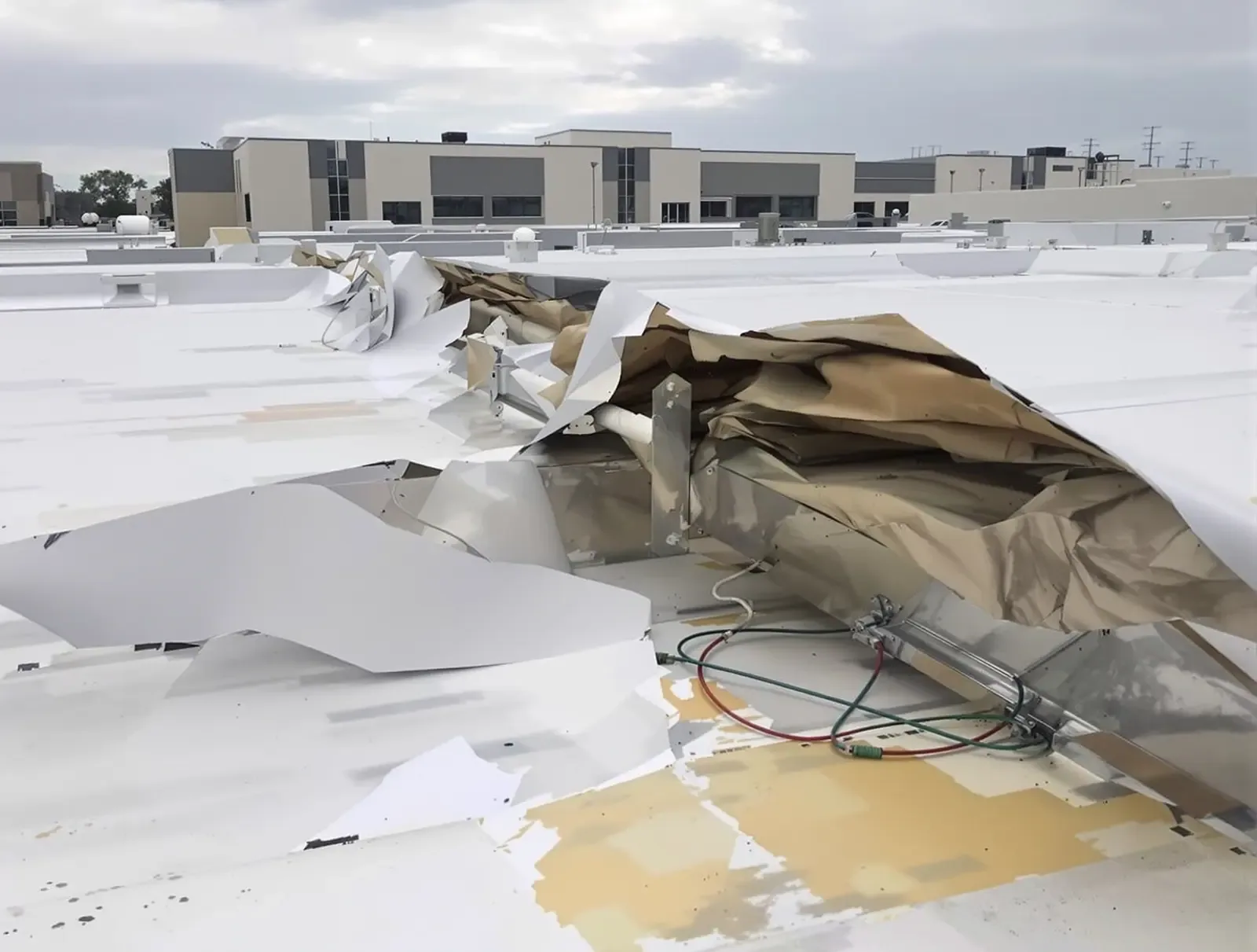
Commercial Roof Inspections
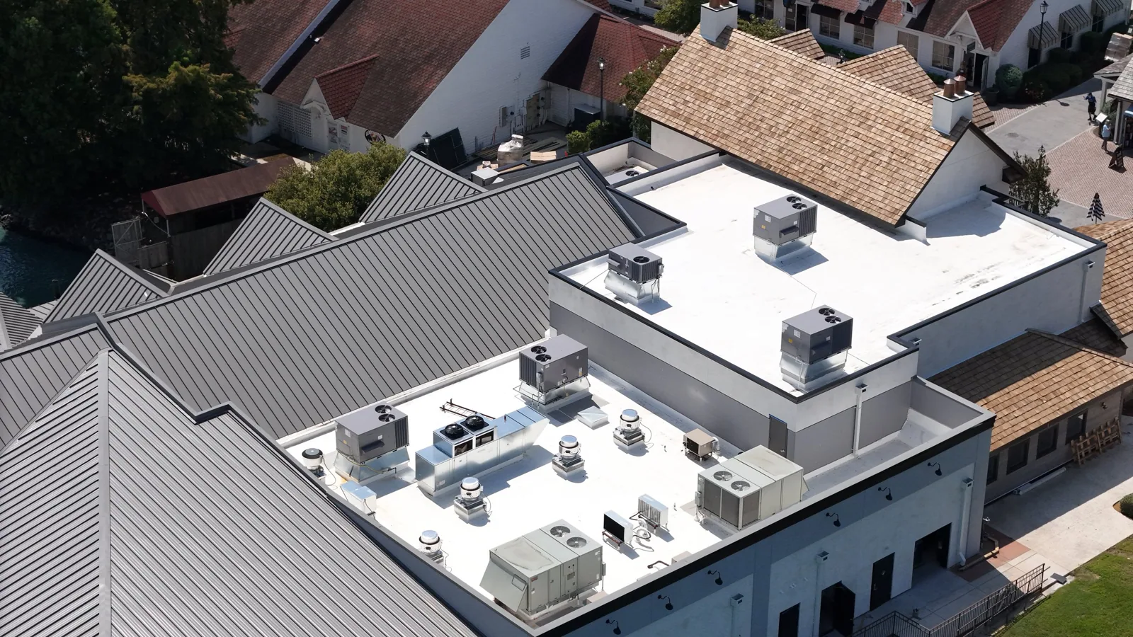
Warehouse Roofing
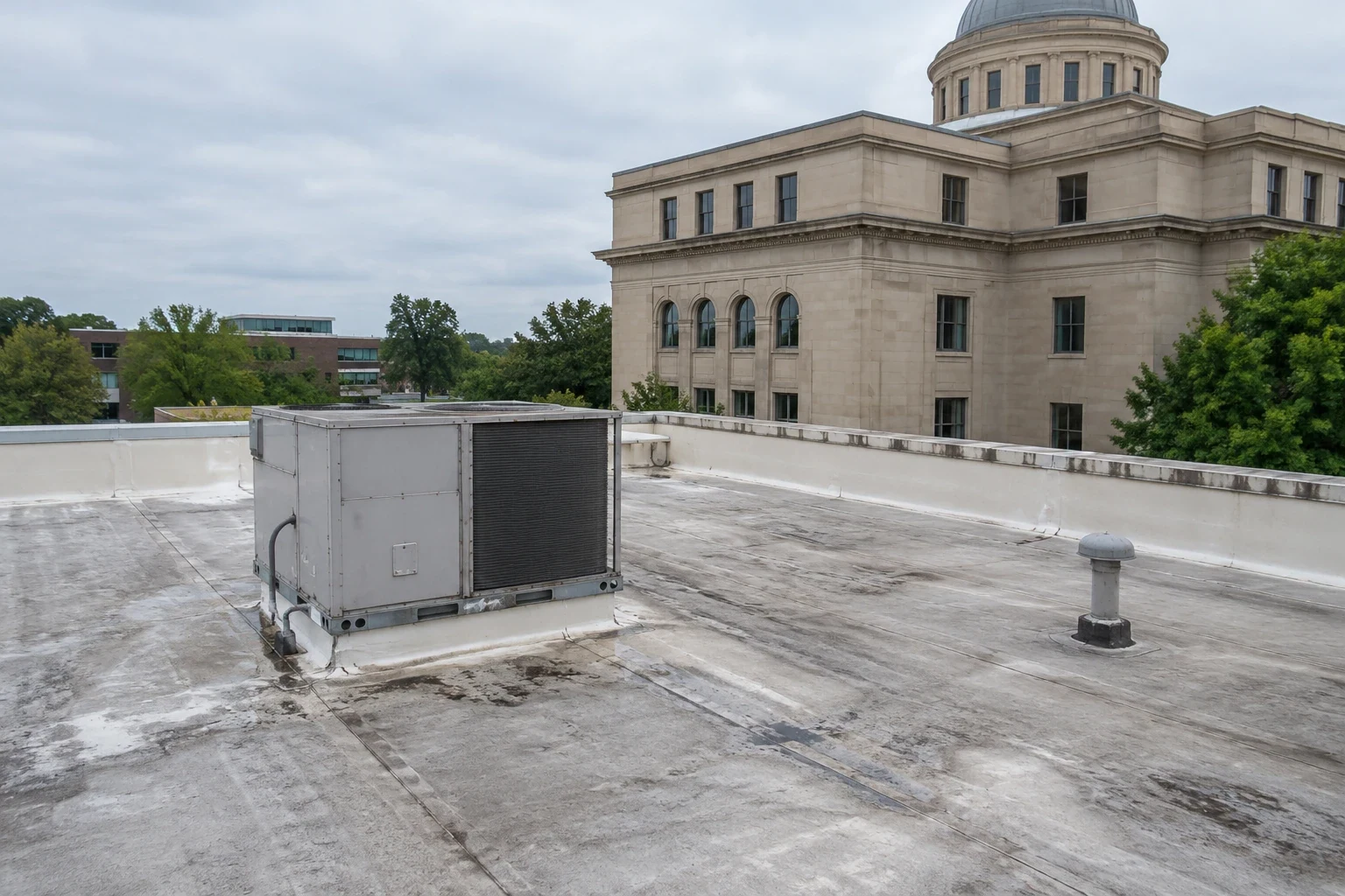
Distribution Center Roofing
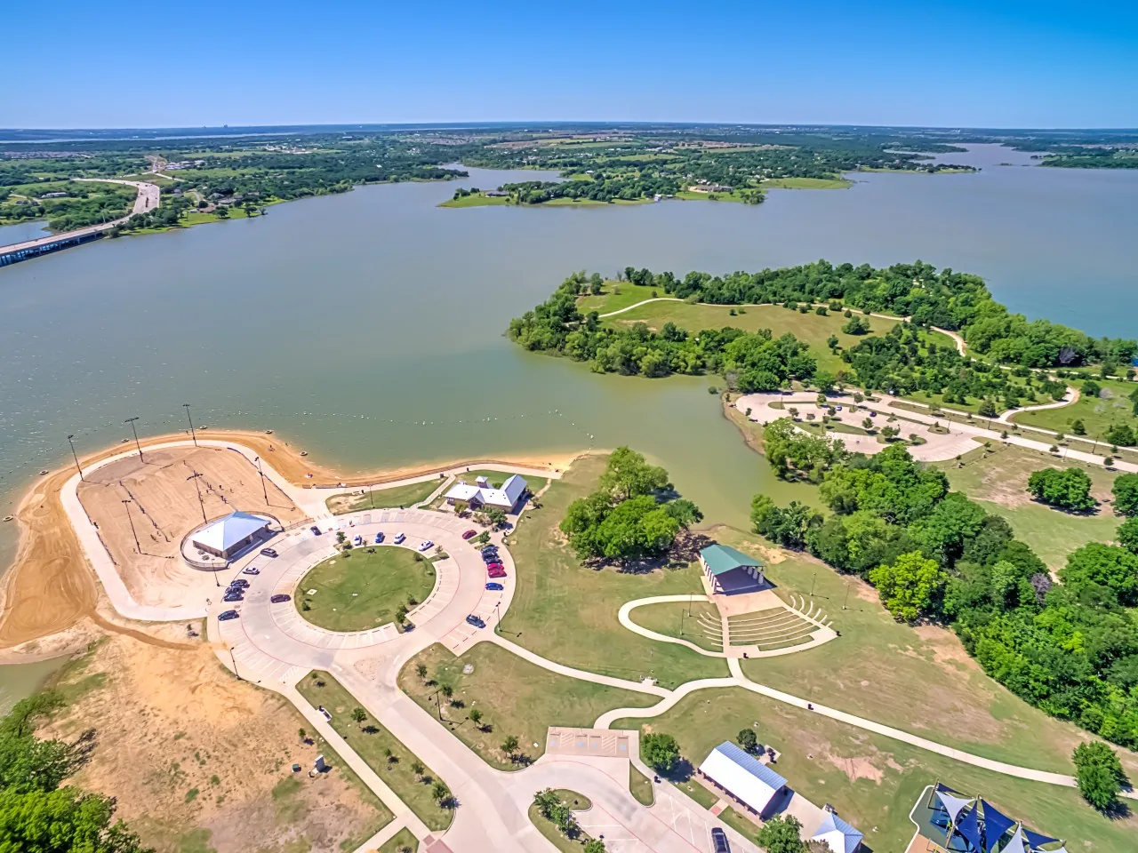
Central I-35E
Hail Damage Roof Repair
Plan the flight
Schedule a drone inspection for your Lewisville roof and receive a dated, zone-labeled image set with findings and recommended next steps.